Delving beyond hydrocarbons
ADVANCES in subsurface imaging technology are not just boosting the search for hydrocarbons; in recent years geophysical methods of subsurface investigations have been applied in mining and other extractive industries, for groundwater exploration as well as in search and rescue operations.
By offering an insight into the earth’s subsurface - making it possible to identify the composition and structure of reservoirs located under the surface - seismic imaging has played an important role in the exploration of oil and gas.
Seismic imaging has been one the key focus areas of research and consultancy work undertaken at Universiti Teknologi PETRONAS (UTP) over the years.
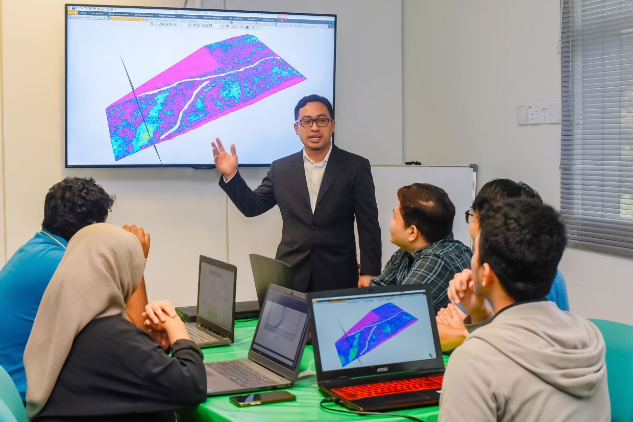
Head of UTP’s Centre for Subsurface Imaging Dr Abdul Halim Abdul Latiff says through advancements in imaging algorithms and the application of Industry 4.0 technologies such as machine learning and artificial intelligence, the centre has developed innovative solutions, which has led to hydrocarbon discoveries for its industry partners.

While hydrocarbon prediction remains the bread and butter of the centre’s activities, in recent years, the centre has also lent its expertise to other sectors of the economy.
The move, says Abdul Halim, was initiated back in 2015 with the decline in oil prices putting the brakes on exploration activities and investments. Another turning point, he adds, was the earthquake in Sabah in 2015.
“We realised that Malaysia lacked expertise within the field of subsurface imaging that understood the implications and impact of the earthquake,” he says.
These developments spurred the centre, which is part of the Institute of Hydrocarbon Recovery (IHR), to consider opportunities beyond oil and gas, specifically in areas related to the mining industry and geo-energy, including geothermal and groundwater investigations as well as earthquake seismology.
The renaming of the centre in 2019 from the then Centre for Subsurface Seismic Imaging and Hydrocarbon Prediction reflects these expanded priorities.
With an unblemished track record in the oil and gas industry, Abdul Halim believes that the centre, comprising seven core academic researchers, six postdoctoral and research scientists as well as more than twenty full-time postgraduate candidates and researchers, is now well positioned to spread its wings.
“We are the only university and research institute that is offering integrated geophysical investigations, from active to passive methods. We have the resources and capability including the software and data processing server that allows us to process huge volumes of data sets.
“These know-how and technology enable us to deliver output within a suitable time frame and at competitive prices.”
In recent years, the centre’s expertise has been sought for groundwater investigations in drought-prone areas of Kedah and Perlis. Working with the Department of Mineral and Geoscience, UTP’s subsurface mapping has greatly contributed to groundwater exploration efforts.
“Investigations carried out in 2018 and 2019 have been able to offer estimations on the groundwater reservoir as well as provide advice on water borehole drilling locations. These have been beneficial for paddy farmers in the Muda basin,” says Abdul Halim.
The centre has also been called upon to use its research capabilities and know-how in rare earth explorations. Much like hydrocarbon exploration surveys, the goal is to determine the volume and value of the rare earth element to enable subsequent commercial decision-making.
“This requires a geological understanding of that area, which is achieved through geophysical surveys including seismic methods,” he says, adding that such surveys have been conducted in multiple locations in north Perak.
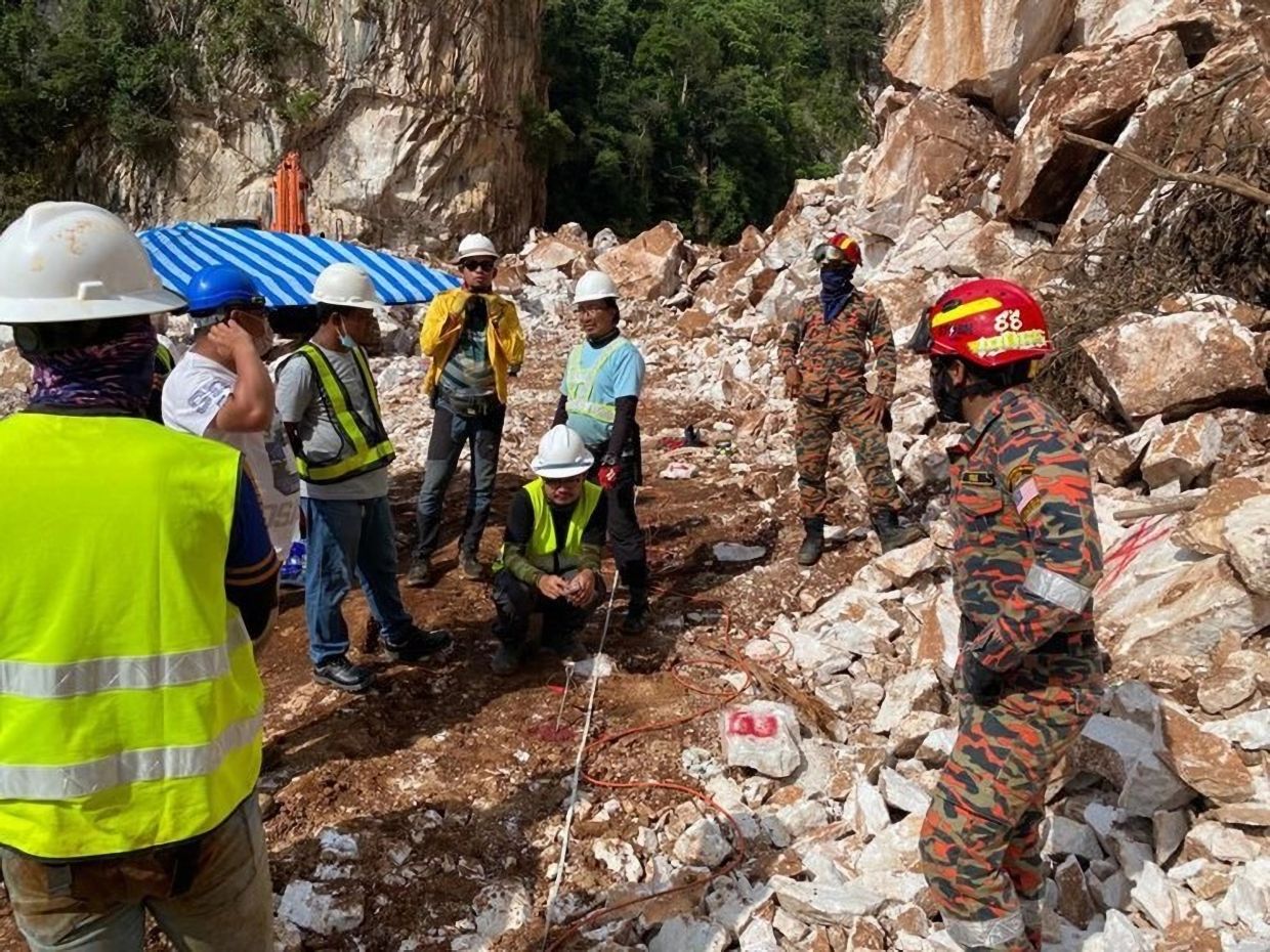
In 2021, UTP’s prowess in the field of subsurface imaging was in the spotlight when it lent its expertise in the search and rescue efforts at Simpang Pulai.
Using 2D electrical resistivity tomography imaging technique, the Centre for Subsurface Imaging, together with other members of the IHR team assisted the Fire and Rescue Department in precisely locating and identifying heavy machinery buried in the landslide.

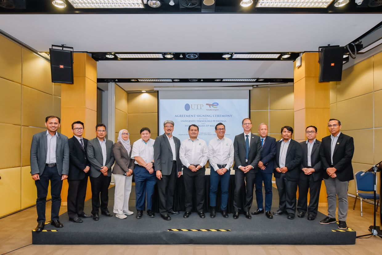
The centre’s research and consulting services also remain in high demand within the oil and gas industry. Just this year, the university inked an agreement for a research grant with TotalEnergies EP Malaysia to collaborate in developing and implementing state-of-the-art optical fibre sensing technologies for geological carbon sequestration monitoring.
One of the pain points of carbon sequestration is that carbon dioxide that is pumped underground can escape, especially when injected into wells – raising the need for precise and efficient monitoring tools.
The existing approach by way of conventional 4D seismic activity is expensive, time consuming and does not guarantee optimal results can be achieved.
The partnership with TotalEnergies thus aims to enhance the understanding and management of subsurface fluids, including carbon storage as well as oil and gas field systems, using distributed acoustic sensing imaging, fibre-optic seismic sensing technologies and predictive analytics and data visualisation using machine learning.

Abdul Halim expects more opportunities for the centre to offer its subsurface imaging expertise.
“We see opportunities in groundwater investigations, geophysical surveys for the mining industry such as tin as well as studies on potential onshore carbon storage sites. It is an exciting time for us at the centre.”

